Mini-Phyling GPS
Mini-Phyling GPS
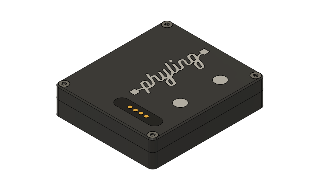
The Mini-Phyling GPS combines a 9-axis inertial measurement unit with a multi-constellation GNSS receiver in a waterproof IPX8 housing weighing only 25 g. It works like the Mini-Phyling V2 and adds GPS position and speed measurement.
Overview
The Mini-Phyling GPS records locally or streams its data in real time over Bluetooth Low Energy (BLE) to the Phyling application via a Maxi-Phyling. Motion and positioning are measured simultaneously and synchronized in a single recording.
Technical specifications
| Specification | Value |
|---|---|
| Dimensions | 51 × 44.5 × 11.8 mm |
| Weight | 25 g |
| Connectivity | Bluetooth Low Energy (BLE) |
| Water resistance | IPX8 |
| Battery life | 5 h (without additional sensor) |
| Transmission | Real time to the Phyling application via a Maxi-Phyling |
| Sampling rate | 200 Hz |
| Embedded sensors | 9-axis IMU (16G accelerometer, 2000°/s gyroscope, 16 Gauss magnetometer) Multi-constellation GNSS (10 Hz) |
Features and Use Cases
The Mini-Phyling GPS was designed to capture motion and GPS position in activities where space is very limited. Small, self-contained and waterproof (IPX8), it measures both movement and GPS position where a standard unit cannot be installed.
- Open-water swimming: Slipped into a swim cap to track trajectory, speed and stroke rate.
- Kitesurfing, windsurfing and light sailing: Attached to the wing or rigging to analyze sail movements and speed on the water.
- Surfing, stand-up paddle and kayaking: Positioned on the board or boat to relate speed, heading and craft movements.
- Skiing and board sports: Integrated into the helmet or back protector to measure speed, trajectory and impacts.
- Trail running and orienteering: Worn close to the body to associate stride and course.
- Sports industry: Field validation of equipment prototypes (boards, wings, boats, helmets) in real conditions, without modifying the equipment.
Available data
Raw data is available from the Phyling Cloud application and can be exported in .CSV format.
Mini-Phyling GPS data
| Data | Description | Unit | Note |
|---|---|---|---|
T | Time since the start of the recording | s | Raw data |
time | Sample timestamp | s | Raw data |
timestamp | Timestamp since 1970 | s | If GPS, a simple conversion of gpstimeUs; otherwise, uses the Maxi-Phyling time |
selection_num | Selection number | - | |
gpstimeUs | GPS timestamp since 1970 | µs | Raw data |
gpsTimeAccuracyNs | GPS time accuracy | ns | Raw data |
gps.fs | GPS acquisition frequency | Hz | Raw data |
gps.latitude | Latitude | deg | Raw data |
gps.longitude | Longitude | deg | Raw data |
gps.speed | Speed | m/s | Raw data |
altitude | Altitude | m | Raw data |
heading | Heading | deg | Raw data |
gps.nSat | Number of satellites | - | Raw data |
gps.PDOP | Position dilution of precision (3D) | - | Raw data |
imu.fs | IMU acquisition frequency | Hz | Raw data |
imu.acc_x, imu.acc_y, imu.acc_z | Acceleration on the 3 axes | m/s² | Raw data |
imu.gyro_x, imu.gyro_y, imu.gyro_z | Angular velocity on the 3 axes | deg/s | Raw data |
imu.pitch, imu.roll, imu.yaw | Unit orientation (pitch, roll, yaw) | deg | Raw data |
Usage
The Mini-Phyling GPS is used like a Mini-Phyling V2:
- Start a recording: see Power-on and recording.
- Retrieve the data and import it into the Cloud application: see USB Mode & Cloud Transfer.
[!NOTE] For all information on general operation (LED color code, charging, configuration), see the Mini-Phyling V2 page.
Mounting Bracket
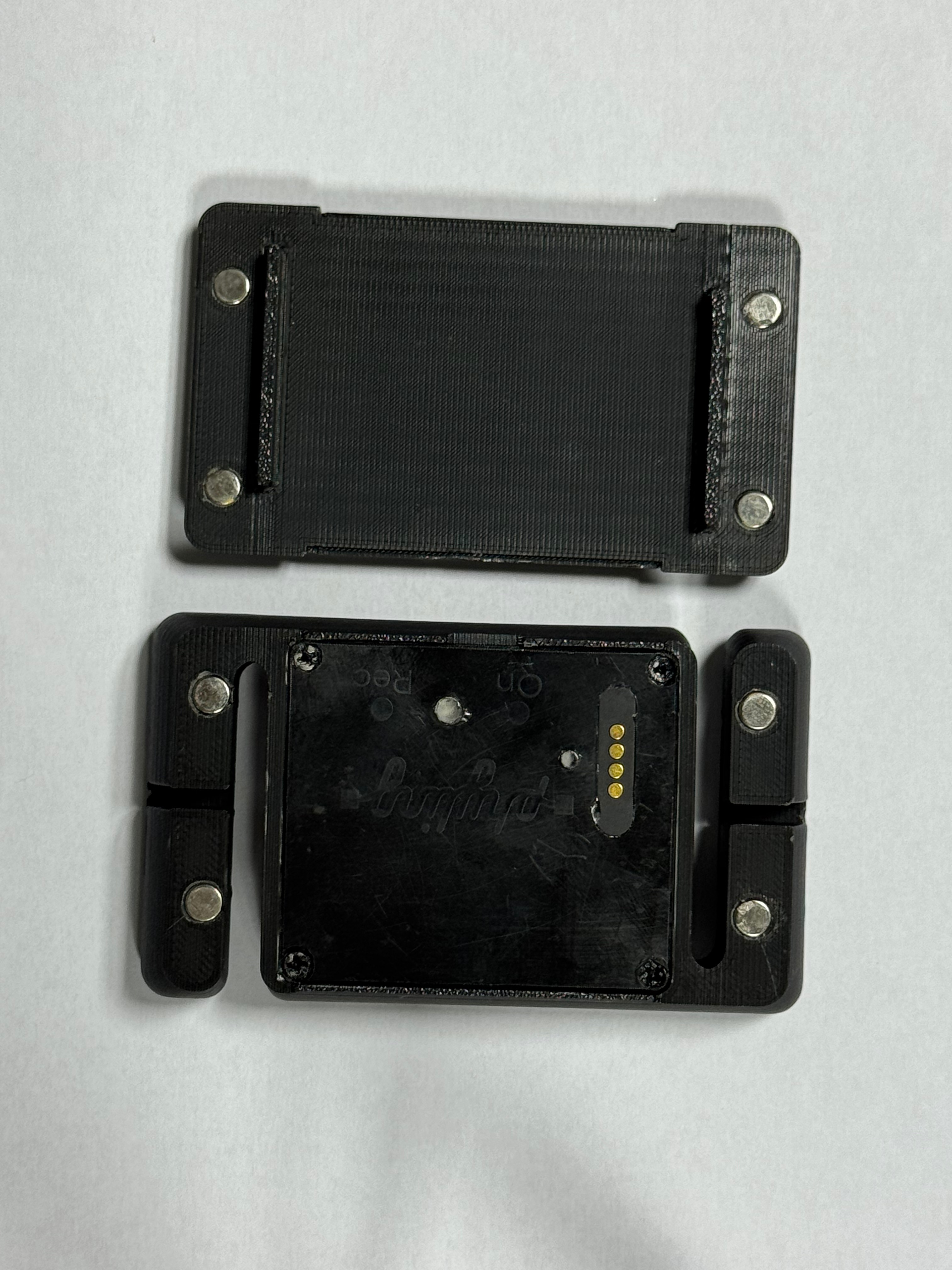
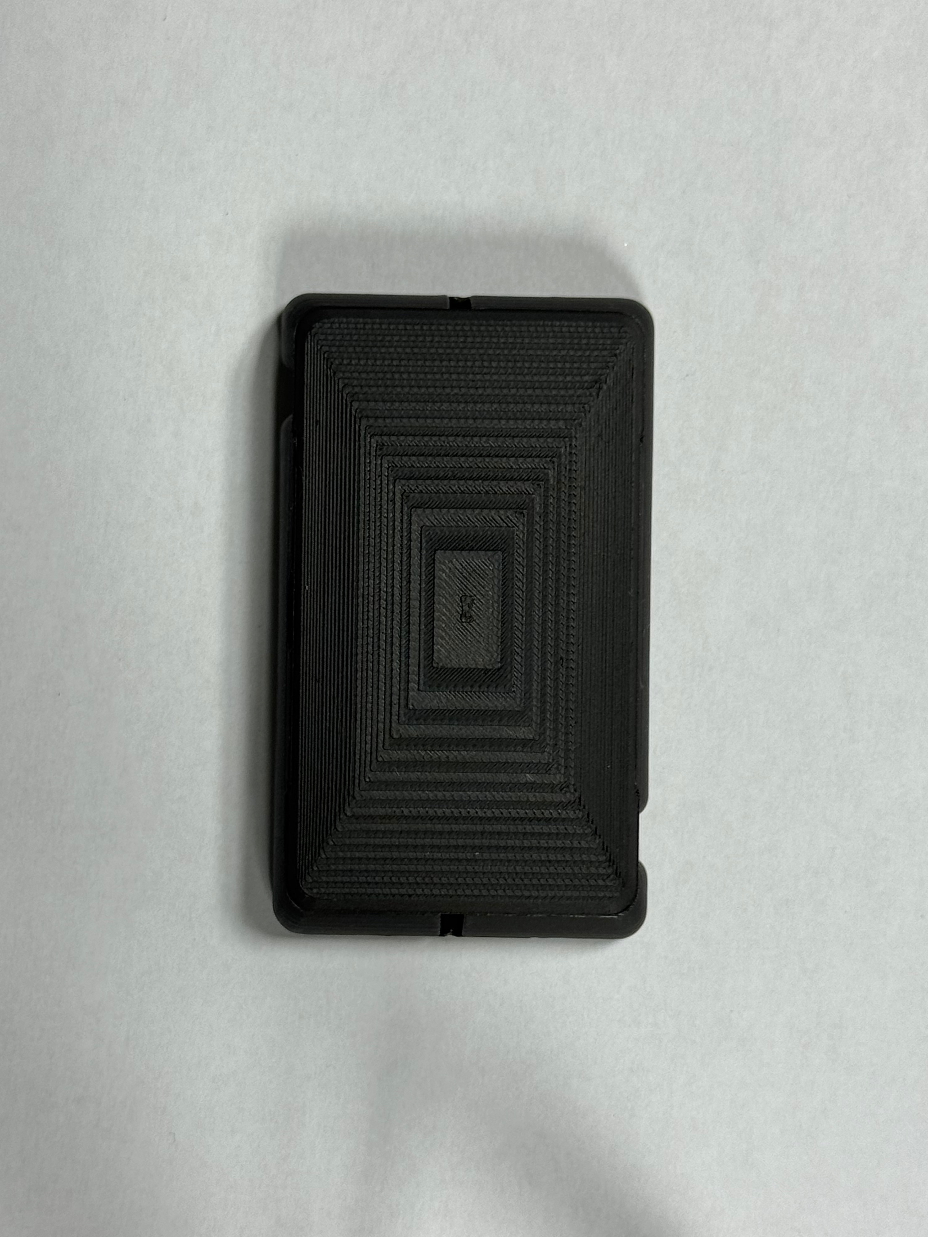
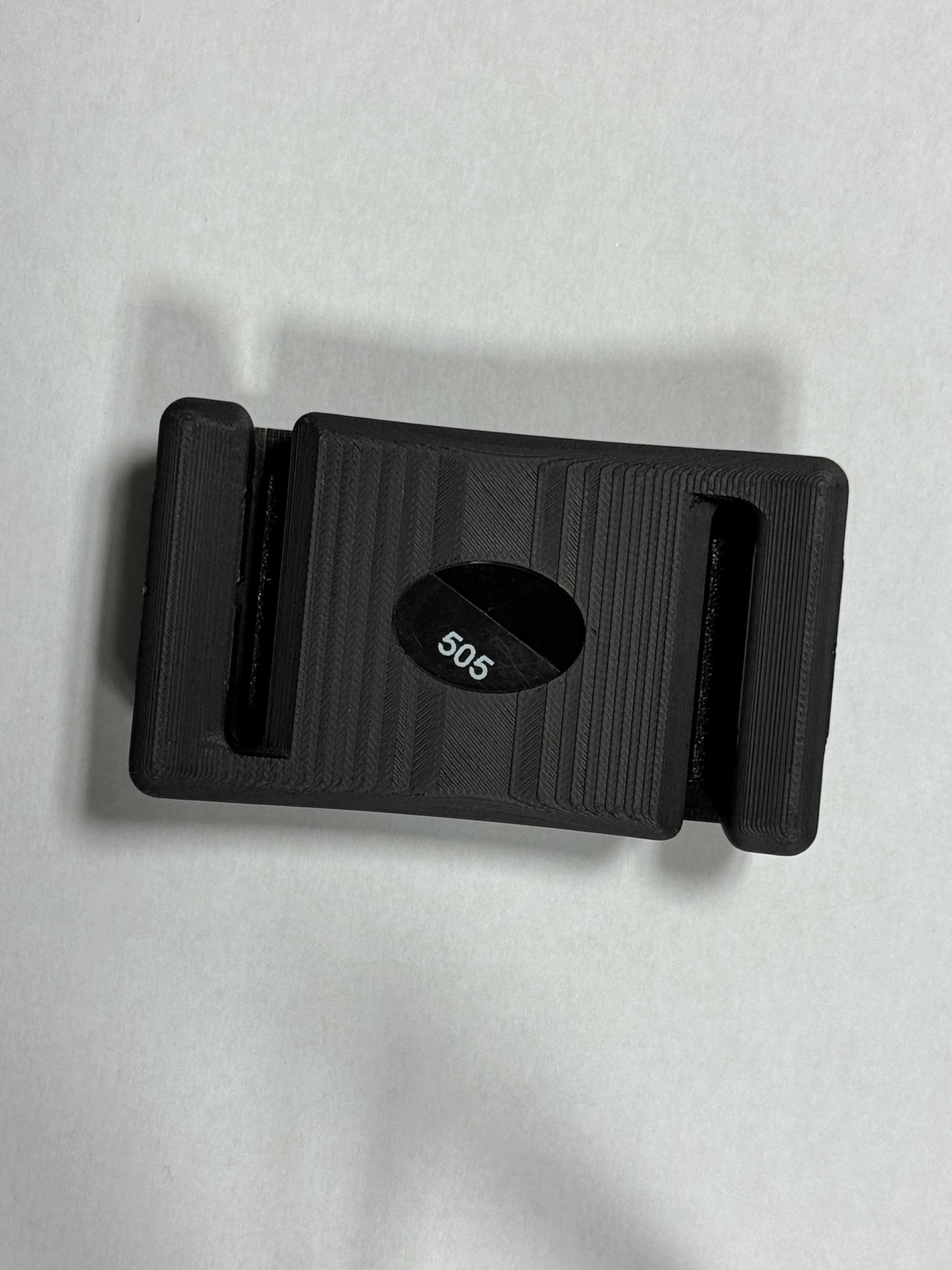
Swimming bracket